Bashley – Maps
Click on the maps below to see larger images.
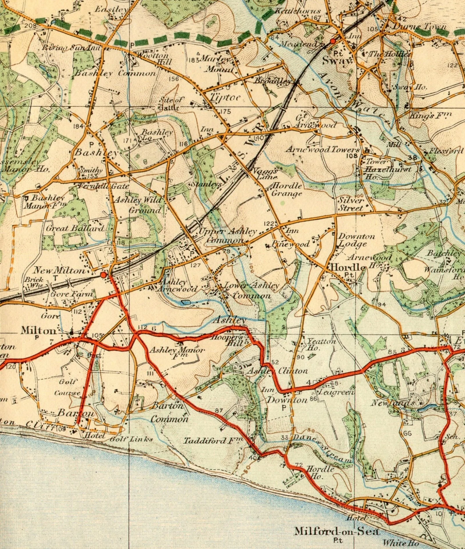
Click on the maps below to see larger images.
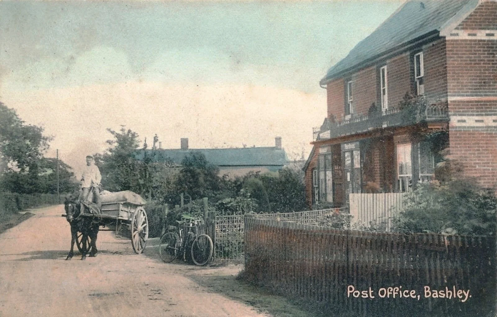
Bashley Village The village of Bashley has a long and interesting history of settlement and farming. The name Bashley derives from Old English. It was originally ‘Baylokesleya’ or ‘Bageslucesleia’ which is understood to mean Bagloc’s woodland clearing. Near the Rising Sun Inn, there is a New Forest boundary marker made of Sarcen stone. Sarcen stone…

We Value Your Privacy! Welcome! Lymington and District Historical Society and Milton Heritage Society website uses cookies to enhance your experience. Cookies are little files saved on your device that help us remember your preferences and understand how you use our site.
We use cookies to help our website work and to understand how it is used. You can choose which optional cookies to allow below. Essential cookies are always on because the site cannot work without them.
These cookies are necessary for Lymington and District Historical Society and Milton Heritage Society to function and cannot be switched off. They are usually set in response to actions you take, such as setting your privacy preferences, logging in, or filling in forms.
These cookies help us understand how visitors use our website by collecting information anonymously. This lets us measure and improve how the site performs.